

Maps
Finds maps for the District
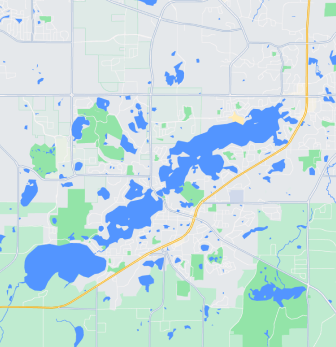
Watershed Map
Explore the Prior Lake-Spring Lake District
District Project Map
See what's happening throughout the District
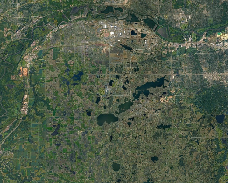
District Map
View a map of our District
Subwatershed Map
The Prior Lake-Spring Lake Watershed has 19 subwatersheds
Search all maps
Wetland Map
- 182.21 KB
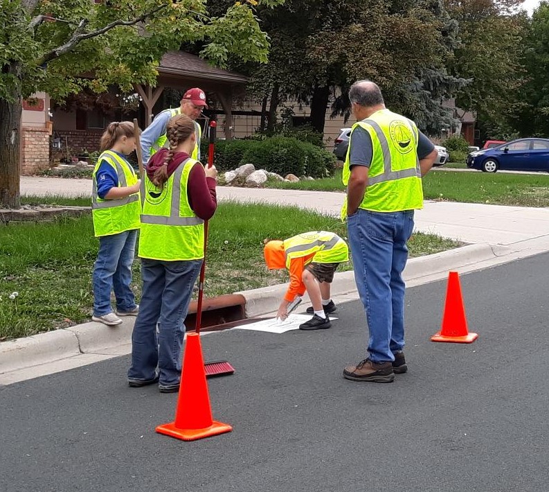
Water Quality Monitoring Sites Map
- 90.86 KB
Surficial Geology Map
- 178.19 KB
Soil Association Map
- 103.65 KB
Recreational Resources Map
- 164.50 KB
Public Waters Inventory Map
- 103.85 KB
Pre-Settlement Vegetation Map
- 106.55 KB
Municipal Urban Service Area Map
- 112.20 KB
Municipalities Map
- 246.41 KB
Floodplain Map
- 134.24 KB
Future Land Use Map
- 142.71 KB
Feedlot Map
- 107.61 KB
Current Land Use Map
- 187.25 KB
Bedrock Susceptibility Map
- 123.97 KB
Bedrock Geology Map
- 142.18 KB
Prior Lake Outlet Channel Map
- 517.16 KB
Subwatershed Map
- 806.07 KB
PLSLWD/Scott Co Map
- 948.97 KB
PLSLWD Boundary Map
- 631.77 KB
District Map
- 3,372.68 KB
Buck Lake Bathymetry Map
- 37.16 KB
Lower Prior Lake Bathymetry Map
- 106.63 KB
Fish Lake Bathymetry Map
- 50.41 KB
Upper Prior Lake Bathymetry Map
- 65.10 KB
Arctic Lake Contour Map
- 147.22 KB